Glacier Circle Ski Vacation Mini Guide
The Glacier Circle Cabin, near Rogers Pass in British Columbia and run by the Alpine Club of Canada is an under-appreciated resource. Part of the issue is its reputation. Multiple guidebook entries suggest that the day-trip skiing there is poor. While it’s perhaps not world class convenience skiing, there is enough small and huge stuff to keep most ski tourists busy for a week. Also, the information available is pretty poor. I wrote up a story on the Feathered Friends blog, and this page is a nuts-and-bolts complement to that article.
 |
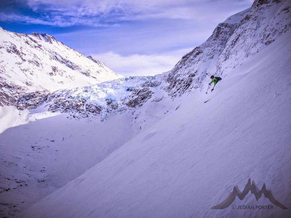
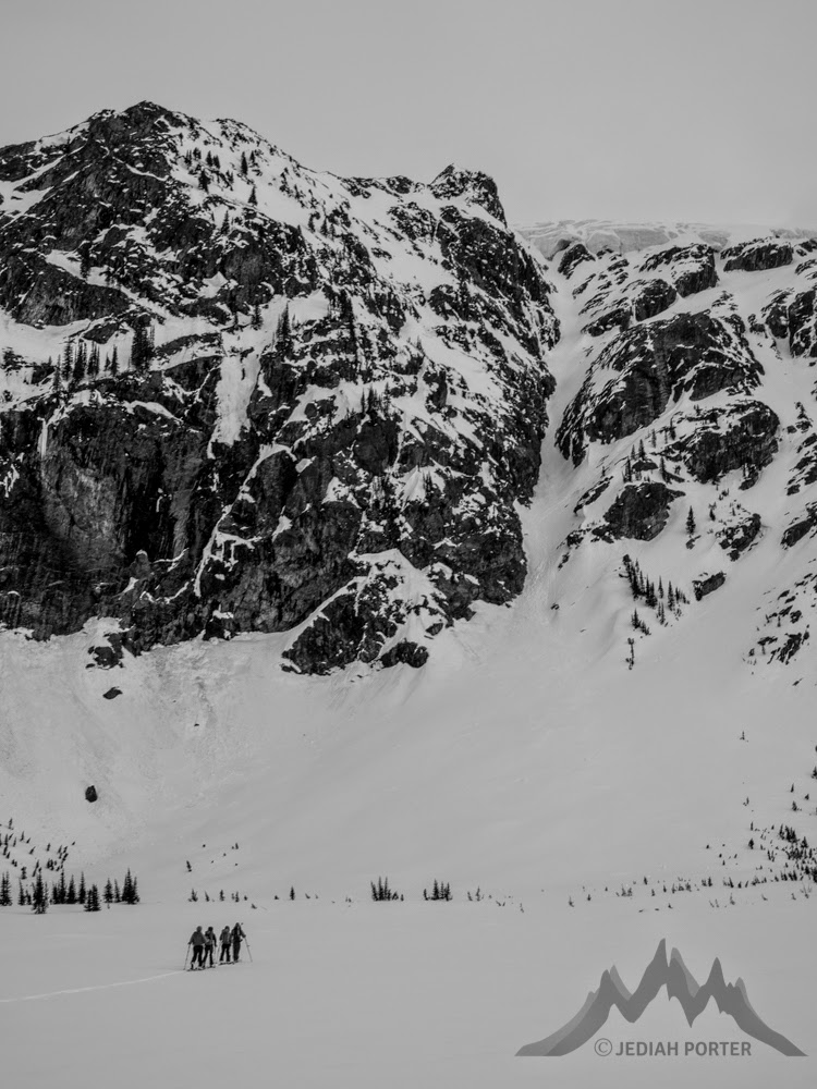
| Just before dropping in on the Witch Tower descent. Yes, its pretty. Yes, the sun is setting. Yes, we did have to find the hut in the dark. |
Maps and Books.
- The best text resource for the area is the summer alpine climbing guidebook. While it is a recent, modern guidebook, it sure seems difficult to find. Search out the "Rogers Pass Alpine Guide” by David P Jones.
- None of the Rogers Pass ski books or current convenience maps cover Glacier Circle well. In fact, both Chic Scott and Doug Sproul books are pretty down on the Glacier Circle zone.
- For maps, your best bet is to get ahold of the Canadian government “quad” maps. You want Mount Wheeler.
- We also secured a map from a friend that worked well for us. It was fully prepared for skiing, waterproofed and everything. It extended south into the Glacier Circle zone. But it sure seems to be basically unavailable.
 |
| Yeah, pow happens in there. |
Approach and Exit
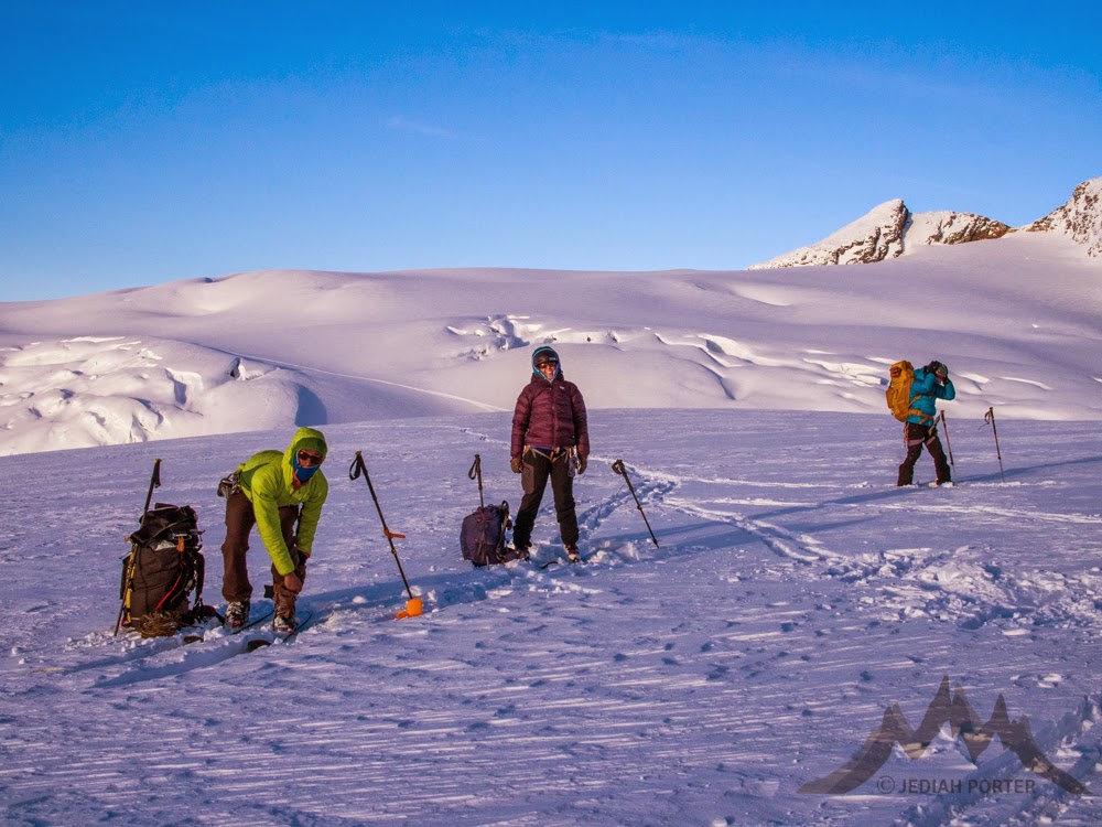
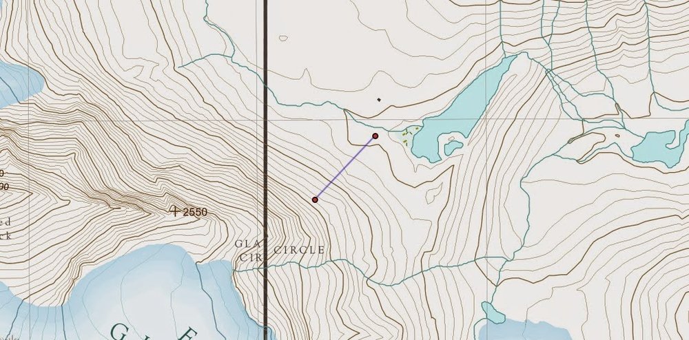
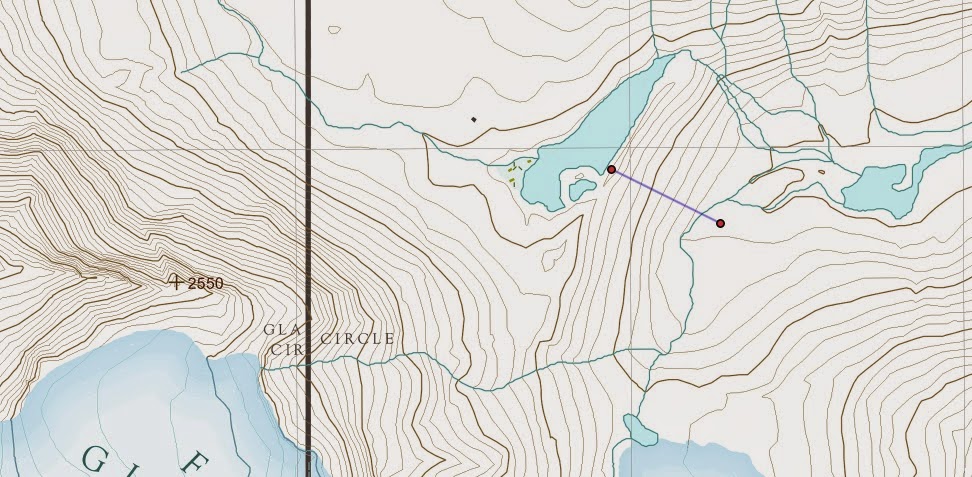
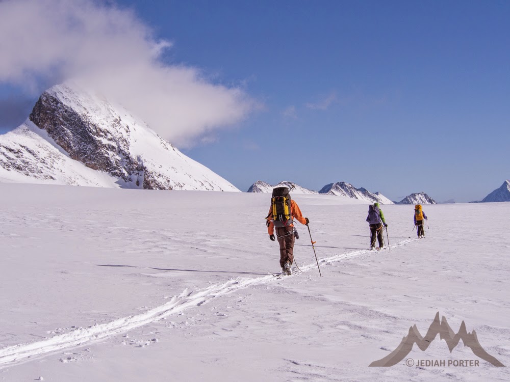
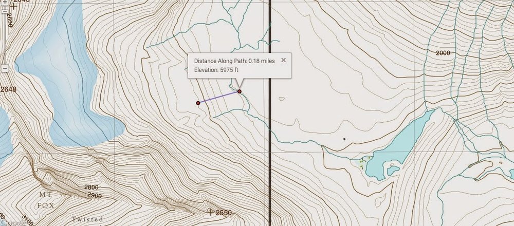
In good visibility, the approach is strenuous, but pretty easy to follow. Getting onto the Illecillewaet is usually marked by at least one skin track all the way from the car. Once on the ice field, follow your map and nose. Near the end of the approach, as the guidebooks point out, you have two options. You can descend the lower slopes of Mount Macoun, or go over to the Witch Tower and descend along its base. We did our actual approach and exit near the Witch Tower, but did a day trip up onto Mount Macoun that traversed the option there. So we did both options. And the Witch Tower is much easier to figure out from the top down. This is our route of exit. We were a little smarter on the approach, with better visibility. But we didn’t GPS track it. The line at that link will serve you well enough. Let me know if you want the data in a more “raw” format.
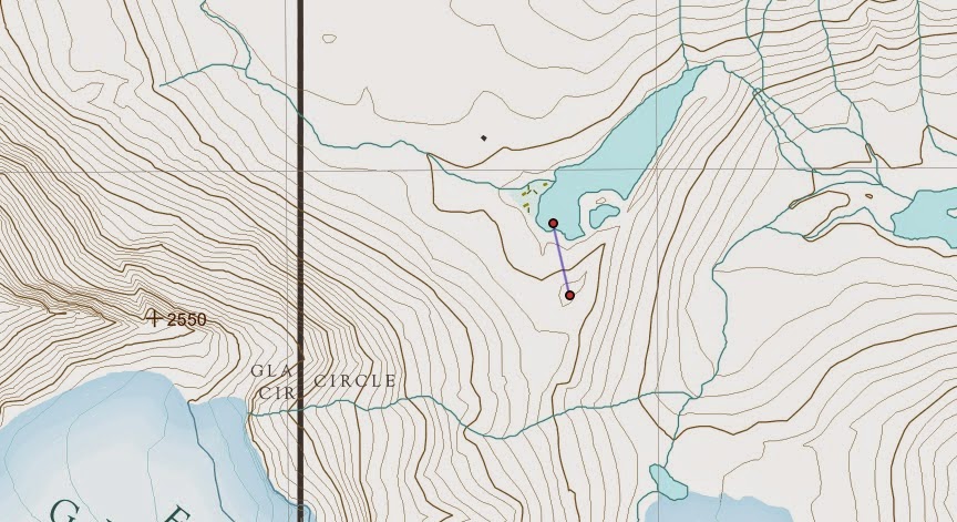
Once you’re in the basin, finding the hut can be problematic. Marks on maps will get you close, but the zone is heavily forested, with giant boulders that all look like snow-covered huts. We collected multiple “ground-truth” gps coordinates at the hut:
- 51.1722N 117.3925W on an Iridium GO satellite communicator
- Zone 11U. 472508E 5669096W on an iPhone
- 51.172661N 117.393097W on a Suunto Ambit GPS Watch.
Day Tours. Some are photographed and shown below, while others are linked to hillmap.com route pages. Some we did, while others we just looked at. All are at least possible in ideal conditions. Some are clearly better in tougher circumstances.
- Lower West slopes of Mt Macoun. 800-1200 vf. Forested ribs between open avalanche paths. Up and back the same way. Slope angles 25-40. SW aspect.
- Summit slopes of Mt Macoun. 5000f. 45deg. W and SW.
- N. Shoulder Mt Macoun. W. 4500vf. 45 deg. W and SW
- MIni Macoun. 4500vf. 35 deg. NW and SW.
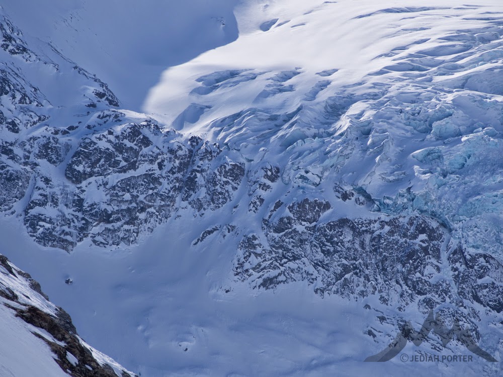
- Mt Selwyn. 5000 vf. 6 miles round trip. Up and back the same way. Max slope angles in the 40s. N, NE, E aspects. Glaciated and crevassed. Historically, negotiating the icefall in order to gain the toe of the Fox Glacier has been impossible. However, as the glacier pulls back, it appears more and more doable.
- Lake Slopes. Below hut. SE Facing. Open. About 600 vf. Max slope angles ca 35. Down, then back up to hut.
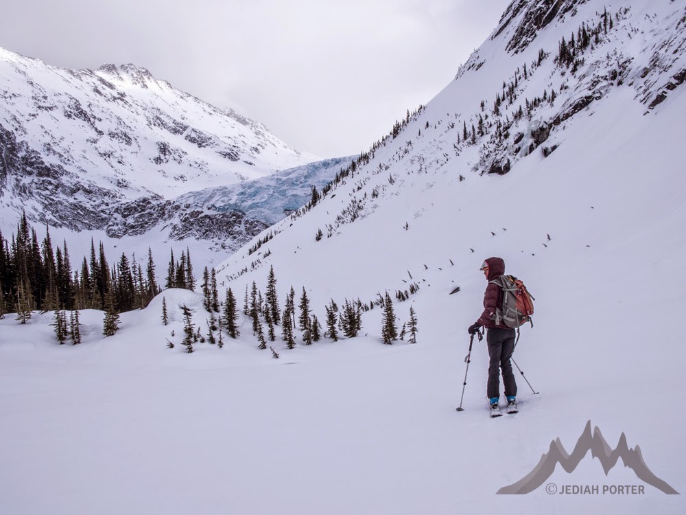
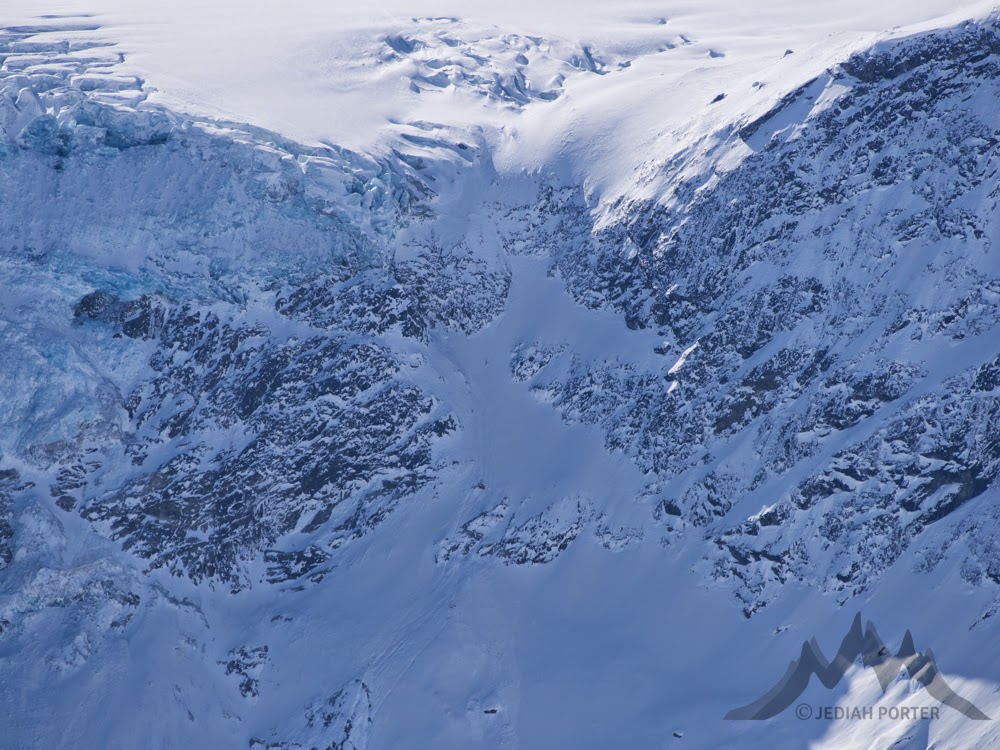
- Deville Glacier. 5 miles or so. 3000 vf or so. Down from hut, then up as far as you want to go. The Deville icefall can be passed in two different ways. See the climbing guidebook for the best info.
- Pt 1793. 5 miles. 2300 vf. (With option for more laps.). North and NW facing. Forested. Max slope angles ca 30deg. Ski down from hut, then down valley a bit, then laps in the trees. Entirely below the hut. As low as 1400m.
- Poo View Peak. Super short, great stormy skiing. Or an excellent vantage point for scouting the area.
- Mount Fox lower slopes. 800vf. 38deg. Along either side of a band of trees.
- Ice Wall Chute. Steep and narrow. An ice cliff hangs over the top. This section of the Illecillewaet may pull back as the glaciers retreat. In which case, this 2000vf, S facing couloir could be an excellent line right outta the hut.
- Witch Tower PPP (Protected Pow Place). 500vf slope, E facing, seemingly threatened by spindrift and serac fall from Mt Fox and the Witch Tower glacier. However, a concave basin protects this slope.
Weather and Avalanche Info
- Parks Canada Ava Bulletin
- Low altitude weather forecast (Hut. 1800m)
- Higher altitude weather forecast (Mt Selwyn 2900m)
- Weather Sensors
- Conditions 2014-15. TetonGravityResearch usually has the best discussion of regional conditions.
 |
| Mount Fox lower slopes. |
 |
| Lake slopes |
 |
| Mini Macoun |
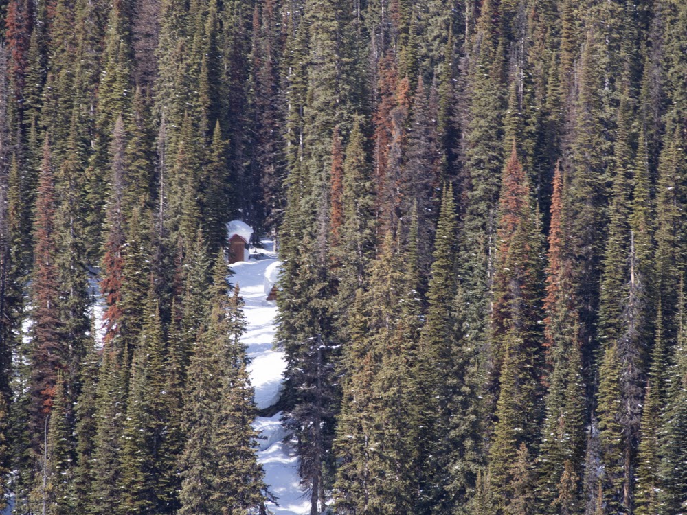 |
| Hut outhouse from the top of "Poo View Peak" |
 |
| Mount Macoun with its summit slopes somewhat obscured and the N Shoulder run traversing down and right under the cliffs. |
 |
| The Ice Wall chute. Cool looking, higher objective hazard. |
 |
| Taken from the NW corner of the basin, with the Deville glacier in the distance and the treed horizon indicating Mt Fox's lower slopes. |
 |
| Deville icefall from Mt Macoun |
 |
| Selwyn Ledges zoom. An option for gaining or descending the Deville. |
 |
| The Deville Chimney zone from Macoun. |
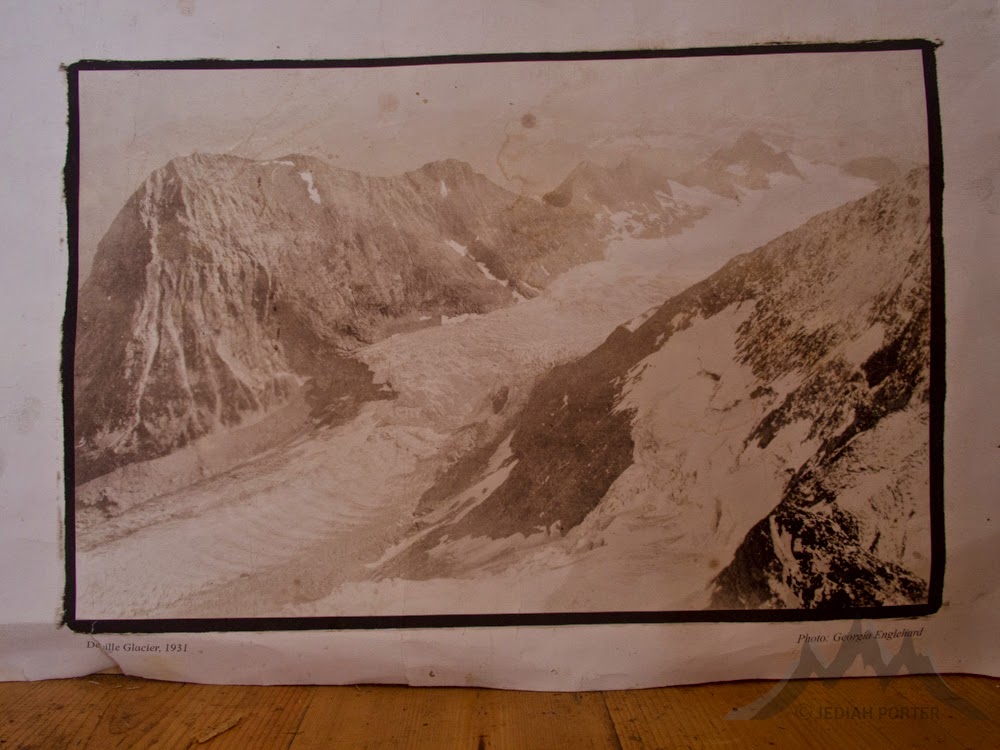 |
| A historical photo of the Deville icefall. |
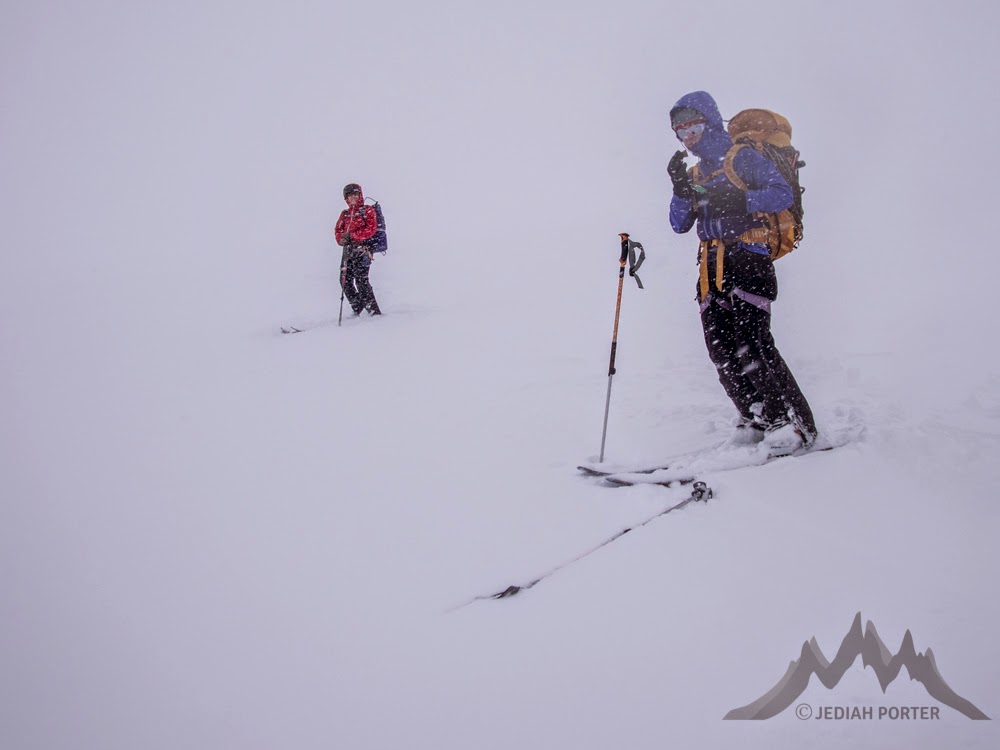 |
| We did our entire exit in white out. Do your homework! |
 |
| Poo View Peak |
 |
| Protected Pow Place |